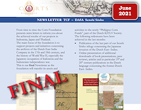
 The archives of the High Government of Batavia from the 17th and 18th century has been digitized for an important part. The last few years The Corts Foundation and Arsip Nasional Republik Indonesia published more than a million scans of archival documents on the Indonesian website sejarah-nusantara.anri.go.id .
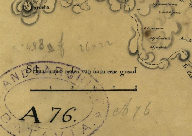
The closing episide of this collaboration is the recent online publication of 1175 maps and their data. Mostly land surveying maps of Batavia and their surrounding lands provide insight into the use of land and division of plots at the time.
The collection has been formed by the government archivist de Haan, who extracted the maps from the archive and put them in a separate archive collection. This collection is now published and made searchable with the descriptions that were created bij de Haan himself at the beginning of the 20th century.
The collectie can be found at: ANRI collectie de Haan

 English
  Nederlands
